

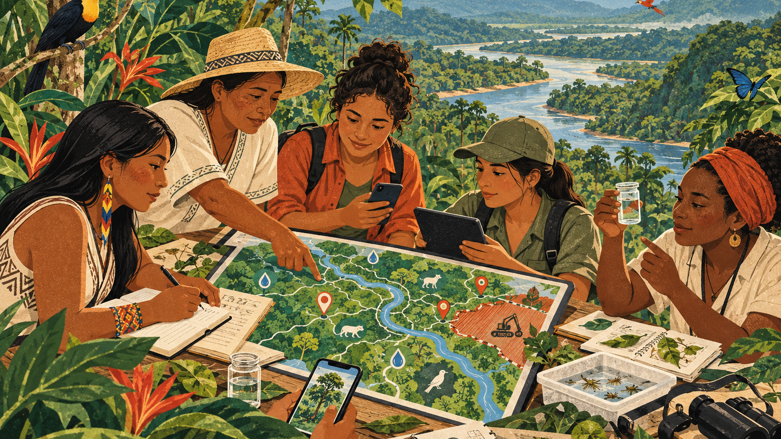
In Colombia's Putumayo region, members of the Guardianas del Agua network are adding digital maps to their environmental work. An ongoing 2026 partnership between the Humanitarian OpenStreetMap Team and the Alianza de Mujeres Tejedoras de Vida del Putumayo is helping women document water sources, biodiversity, and threats to the places they know.
The training pairs field observations with open mapping tools, including ways to record location-based information through familiar messaging platforms. Participating leaders are meant to pass those skills on to others, with continued mentoring for local projects. The aim is practical: give communities evidence they can use in decisions about watersheds and land.